This lecture reconsiders early modern mapping in western India by placing Jain contributions to terrestrial and celestial knowledge within the context of scientific cosmopolitanism in early modern Gujarat. Moving between painted maps, pilgrimage scrolls, and cosmographic diagrams, it shows how Jain merchants, monks, and specialists in astronomy (jyotiḥśāstra) helped align land measurement, calendrical calculation, and navigation. Mapping was the fruit of collective labour, shaped by exchanges among astrologers, surveyors, sailors, cultivators, and scribes. Seen from Gujarat, these practices linking skies and soil reveal a shared pragmatic and ethical commitment to order and plurality.
Dr. Samira Sheikh is associate professor of history at Vanderbilt University. She is author of Forging a Region: Sultans, Traders, and Pilgrims in Gujarat, 1200-1500 (2010), and co-editor of After Timur Left (2014). Having recently completed a book on late Mughal Bharuch, she is now working on a book and exhibition on early modern mapping practices in India. She is currently the fifth Obaid Siddiqi Chair at the Archives at NCBS, Bangalore (2025-26).
Date: 25 February, 2026 (Wednesday)
Time: 4:30 PM to 6:00 PM
For ages: 18 and above
Venue: Lecture Hall, L D Museum
For registration, please contact:
Call: +91-9408536883 | WhatsApp: +91-7863040584
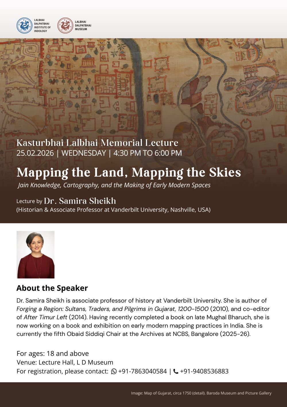
Image: Map of Gujarat, circa 1750 (detail). Baroda Museum and Picture Gallery
Follow Us On:


Whatsapp Us On:
+91 78630 40584
Call Us On:
+91 94085 36883
Write Us On:
ldmuseum1985@gmail.com
Copyright © 2014-2026 Lalbhai Dalpatbhai Museum (sponsored by Lalbhai Dalpatbhai Bhartiya Sanskriti Vidhya Mandir). All Right Reserved.
© 2014-2026 Lalbhai Dalpatbhai Museum (sponsored by Lalbhai Dalpatbhai Bhartiya Sanskriti Vidhya Mandir).All Right Reserved.
Disclaimer:All content and images on this Website / Blog - unless stated otherwise - are copyright of The Lalbhai Dalpatbhai Museum.